
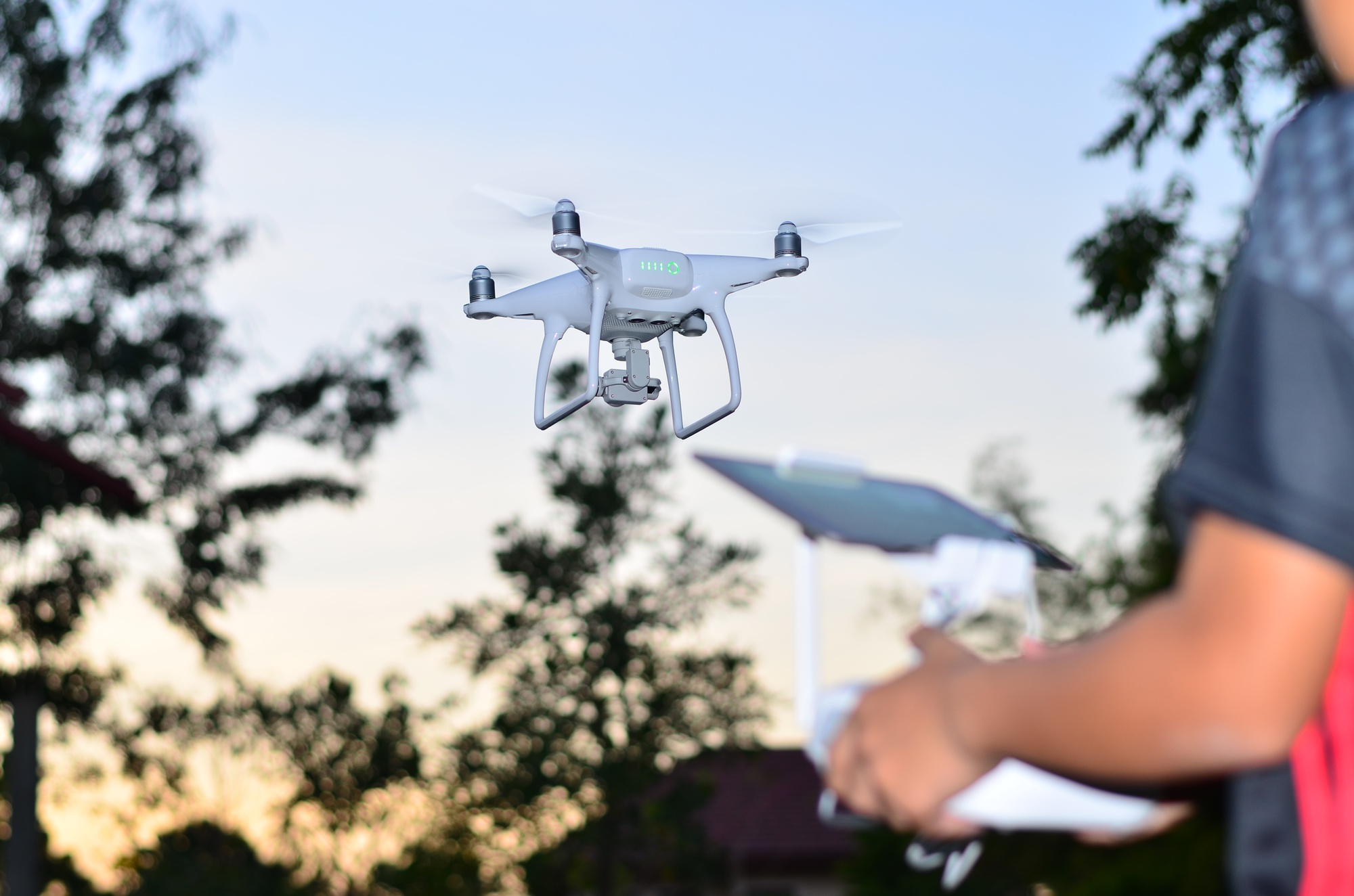
Recently, both military and civilian communities have been increasingly using Unmanned Aerial Vehicles (UAVs), which have increasingly diverse applications, from mapping to surveillance. One vital necessity for these crafts is the ability to navigate on their own, especially when GPS signals are absent or uncertain.
A fresh study has tackled this issue by exploring how reinforcement learning (RL) and vision-based methods could be merged to improve the navigational skills of UAVs. Instead of using GPS, as in previous cases where traditional methods were employed, a vision-based navigation system locates itself and directs the aircraft through the aid of onboard cameras, which continually interpret the visual sensory input for path planning purposes.
Reinforcement Learning, one aspect of AI, plays a crucial role by allowing UAVs to learn and develop their navigation mechanisms over time. This procedure enables drones to make independent choices using visual information, like identifying hurdles or designing routes, without frequent human involvement.
The study classifies RL applications according to distinct navigation challenges and image input types, where their effectiveness lies in overcoming constraints related to GPS-deprived settings. By merging RL with visual methods, Unmanned Aerial Vehicles can maneuver through intricate landscapes, evade barriers, and achieve better precision and economy in planning aerial courses.
The study looks ahead and identifies present problems and proposes future research directions to refine and extend the capabilities of visual RL navigation systems for UAVs. This step forward is not just promising improved operation flexibility and dependability, but also underscores the transformative potential of AI-powered technologies in modern air operations, instilling a sense of optimism about the future.